


La Ciotat

cousam
User
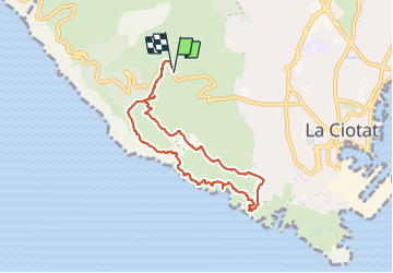

Length
8.4 km

Max alt
333 m

Uphill gradient
429 m
Km-Effort
14.1 km

Min alt
0 m

Downhill gradient
425 m
Boucle
Yes
Creation date :
2023-10-25 07:12:18.593
Updated on :
2023-11-12 06:31:47.078
6h15
Difficulty : Difficult

FREE GPS app for hiking
 SityTrail
IGN / Geographical institutes
SityTrail Plus
The world is yours!
About
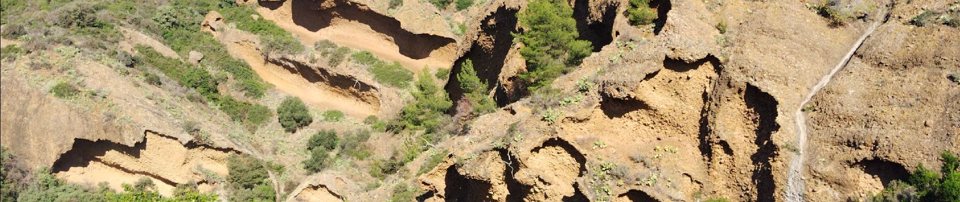
Trail Walking of 8.4 km to be discovered at Provence-Alpes-Côte d'Azur, Bouches-du-Rhône, La Ciotat. This trail is proposed by cousam.
Photos


Positioning
Country:
France
Region :
Provence-Alpes-Côte d'Azur
Department/Province :
Bouches-du-Rhône
Municipality :
La Ciotat
Location:
Unknown
Start:(Dec)
Start:(UTM)
709657 ; 4784296 (31T) N.
Comments